
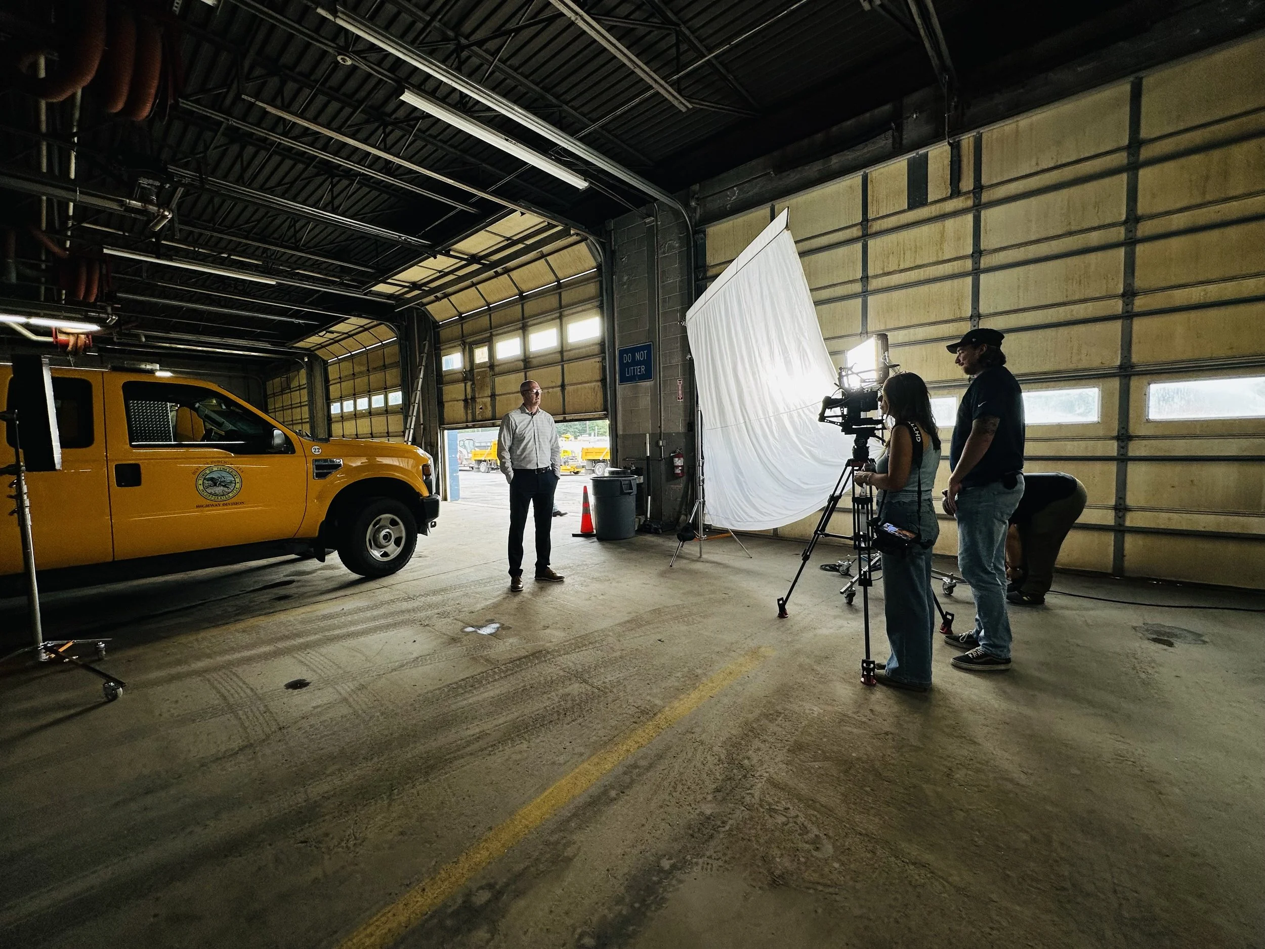
Video Production
-
Industry
Infrastructure Technology / Geospatial AI
-
Technology
Cyvl uses vehicle-mounted LiDAR scanners and cameras paired with an AI platform to rapidly map and assess the condition of public infrastructure. Their software automatically digitizes assets, detects defects in roads and sidewalks, and assigns condition scores, creating a "digital twin" of a city's right-of-way.
-
Tag-Line
"Better data. Better decisions. Better infrastructure."
-
Quick Fact
Cyvl's process is about 10 times faster than traditional manual methods of infrastructure assessment, which often involve workers walking the streets with clipboards and measuring wheels.
Testimonial
We appreciate Capital Energy and what they do for startups. As supporters of Cyvl, they were some of our earliest investors, provided industry advice, and even produced a professional quality “About Cyvl” video that we still use today. They are a great resource and partner for any startup.
- Daniel Pelaez, Co-Founder & CEO